Winter Storm Hernando Intensifies Along the East Coast, Bringing Blizzard Warnings, Travel Bans and Widespread Disruptions
A fast-evolving nor’easter with blizzard impacts
Winter Storm Hernando is unfolding as a high-impact nor’easter expected to intensify into a “bomb cyclone” into Monday, driving blizzard conditions, heavy snow and damaging winds from the mid-Atlantic to New England. Forecasters have warned that the combination of rapidly strengthening low pressure, intense snowfall rates and powerful wind gusts will create dangerous conditions for travel and daily life across a densely populated corridor.
Blizzard warnings have been issued along the East Coast from Virginia to New Hampshire, including all five boroughs of New York City. The warnings reflect not only the potential for significant snowfall totals, but also the reduced visibility and hazardous drifting that can occur when strong winds coincide with falling or blowing snow.
As the storm intensifies offshore, satellite imagery has shown the system beginning to clear out its center as it strengthens. While not a hurricane eye, this “eye-like feature” can appear in the strongest nor’easters, as a small pocket of warm air is pulled into the center of the cyclone and becomes pinched off. The result is a storm structure that can support intense bands of snow and powerful winds on its western side—often where the most disruptive conditions set up.
Where warnings are in effect and what they mean
Blizzard warnings stretching from Virginia to New Hampshire underscore the breadth of Hernando’s impacts. In New York City, blizzard warnings were noted from Sunday morning into Monday morning, with snowfall totals over a foot and wind gusts to 55 mph expected to cause major impacts on commutes and emergency response.
A blizzard is defined by specific criteria, including blowing and/or falling snow that reduces visibility, along with strong winds. Importantly, new snowfall is not required for blizzard conditions; existing snow on the ground can be lofted by wind and create near-whiteout visibility. That distinction matters in a storm like Hernando, where the wind field is expected to be intense and persistent even as snowfall rates vary from hour to hour.
Snowfall and wind: a dangerous combination
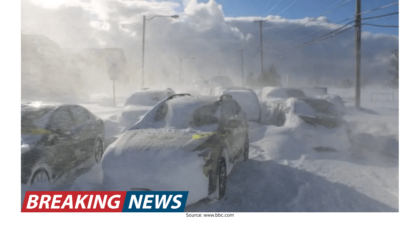
Across the region, the storm’s hazards are not limited to accumulation totals. The forecast includes periods of heavy snow, with some areas expecting intense snowfall rates. For New York City and Philadelphia, the heaviest snowfall is expected through the overnight hours, with snowfall rates that could exceed 1 inch per hour and winds that could gust to 55 mph. Even locations that began with relatively light snowfall were expected to see conditions deteriorate quickly as heavier bands approached from the south.
In Boston, the forecast highlights a different timing window: the heaviest snowfall is expected through the day on Monday, particularly between 5 a.m. and 4 p.m. Snowfall rates of 1 to 2 inches per hour are possible, with some areas potentially seeing rates up to 3 inches per hour. Alongside the snow, the wind threat is pronounced. The forecast for Boston includes potentially dangerous wind gusts that could reach as high as 70 mph, increasing the risk of downed trees, power lines and difficult travel even for essential vehicles.
Rhode Island is also bracing for a major event. A winter storm watch is in effect from Sunday afternoon through Tuesday morning, with Providence potentially seeing 15 inches of snow. The state has been warned to expect possible blizzard conditions, total accumulations between 14 and 18 inches, and wind gusts up to 55 mph. The snow is expected to be wet and heavy, a combination that can strain trees and power infrastructure and complicate cleanup.
States of emergency and major service suspensions
As conditions worsened, emergency declarations and service changes expanded across the Northeast. Maryland moved under a state of emergency, joining New York, New Jersey, Delaware, Massachusetts, Connecticut and Rhode Island. Maryland’s state offices were set to be closed on Monday, reflecting the expectation of hazardous conditions and the need to limit non-essential travel.
In Massachusetts, Governor Maura Healey declared a state of emergency that included the “activation of up to 200 Massachusetts National Guard members to support storm response operations.” Such steps are typically aimed at ensuring resources are available for tasks like clearing roads, assisting stranded motorists, supporting shelters, and responding to power outages.
Transit agencies also began scaling back. In New Jersey, officials announced that all buses, light rail and Access Link would be suspended at 6 p.m., with trains expected to run into the evening but potentially suspended later. New Jersey Transit separately announced that bus and light rail service would be halted at 6 p.m. These suspensions reflect both the hazards of operating in blizzard conditions and the reality that road conditions can deteriorate quickly once snowfall rates increase and temperatures fall.
New York City travel ban and local closures
New York City implemented one of the most sweeping measures: a travel ban set to go into effect at 9 p.m., with roads and bridges closed to non-essential traffic. The timing aligned with the expectation that heavier snowfall bands would intensify into the evening and overnight, rapidly covering roads as temperatures dropped.
Other closures followed as the city prepared for prolonged disruption. Broadway performances scheduled for 6 p.m. were canceled in a joint announcement, and public schools were announced to be closed on Monday. The goal of these decisions is straightforward: reduce the number of people on the roads, limit exposure to dangerous weather, and allow plows and emergency services to operate more effectively.
Preparation was visible across the city and suburbs. Sanitation workers were reported outfitting garbage trucks with tire chains and snow plows in advance of the storm, a strategy used to expand the number of vehicles capable of clearing streets. In neighborhoods and towns across the region, residents were shown lining up for groceries and picking up last-minute essentials such as snowblower fuel, rock salt and snow shovels.
Snow totals and early observations from the region
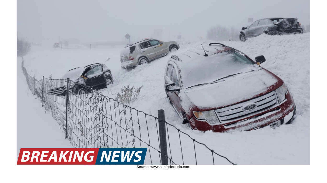
As the storm developed, early totals and observations provided a snapshot of how quickly conditions were changing. On Long Island, snow totals reached 8 inches, with plow drivers expected to be working for days to keep roads passable. Elsewhere, a new top snow total was reported as 6.1 inches near Freehold Township, New Jersey. Another reported top total earlier in the day was 6 inches near Wintergreen, Virginia.
In New York City itself, snowfall early on was reported as light—up to a half-inch—but the forecast emphasized that this would change quickly as heavier snowfall bands approached. In Fort Lee, New Jersey, heavier snow was reported as sunset neared, illustrating how localized bands can create sharp differences in intensity over short distances.
At the National Weather Service office in Upton, New York, heavy snow was being observed, with the potential for overnight snowfall to exceed a foot and wind gusts to reach 55 mph. Blizzard warnings were expected to remain in place until Monday night in that area, reflecting the storm’s persistence.
Power outages: a rapidly growing concern
As snow piled up and winds increased, the risk of power outages rose rapidly. Outages surpassed 30,000 customers in the Northeast, according to outage tracking figures cited during coverage. As winds strengthened, additional reports noted more than 12,000 customers already without power, with an expectation that the total could rise substantially before the storm ends.
High winds combined with wet, heavy snow can be particularly damaging for power infrastructure. Strong gusts can topple trees and snap branches, and the added weight of snow can increase the likelihood of limbs falling onto lines. In areas forecast to see gusts of 55 mph or higher—and especially where gusts could approach 70 mph—utilities and emergency managers often anticipate a longer restoration timeline.
For residents, power loss in winter conditions introduces secondary hazards, including exposure to cold indoors and the temptation to use unsafe heating methods. Guidance shared during the storm included resources on preserving heat during outages, staying warm, avoiding unsafe food storage practices, and preventing carbon monoxide poisoning.
Air travel disruption spreads up and down the Eastern Seaboard
The storm’s impact has extended well beyond roads. Flight cancellations and delays mounted quickly across major airports from Washington, D.C., and Baltimore up to Boston. At New York’s John F. Kennedy International Airport, nearly 1,000 flights were canceled for Monday, in addition to 724 flights canceled on the prior day. Across the Eastern Seaboard, the combined total approached 8,000 cancellations across the two-day period.
Delays were also widespread. More than 15,000 delayed flights were reported across the country during the day as the storm’s effects began cascading through the national air travel network. Even travelers far from the heaviest snow can be affected when aircraft and crews are displaced, airports operate with reduced capacity, and routes are rerouted around weather.
Airlines often provide options to rebook or reschedule during major storms, and travelers were advised to check with their carriers before heading to the airport. With many flights canceled in advance, some passengers were shown settling in for long waits at airports such as LaGuardia.
Black ice risk after the snow stops
Even after the strongest part of Winter Storm Hernando moves on, the threat will not necessarily end. One of the most persistent hazards following major snow events is black ice, which can linger for days. The risk increases when daytime temperatures allow partial melting, followed by nighttime or early-morning temperatures dropping below freezing, causing meltwater to refreeze.
Bridges and overpasses are especially vulnerable. The familiar warning—“Bridge freezes before roadway”—reflects the physics: the ground beneath a road acts as an insulator, while bridges are exposed to cold air on all sides and lose heat faster. That can cause water to freeze sooner on elevated surfaces, creating slick conditions even when nearby roads seem merely wet.
Practical safety guidance for travel and cleanup
Officials and meteorologists repeatedly emphasized avoiding travel during the storm, especially with blizzard conditions expected through Monday. For those who absolutely must drive, basic preparedness can reduce risk when visibility is low and roads become snow-covered.
Check vehicle lights: Test headlights, brake lights, turn signals and flashers to improve visibility to others.
Top off windshield wiper fluid: Use winter-grade fluid with de-icer and replace worn blades.
Check coolant: Ensure it is full and meets manufacturer specifications.
Stock an emergency kit: Include a snow shovel, ice scraper, sand or kitty litter for traction, jumper cables, flashlight, flares, first aid kit and blankets.
Keep your tank full: For gas vehicles, stay near full; for electric or hybrid vehicles, keep the battery charged to reduce the risk of being stranded.
Cleanup after a major snowfall can be physically demanding, and shovel safety was also highlighted. The advice: push snow rather than lifting when possible, bend with the knees instead of the back, avoid twisting, keep shovel loads light, and clear snow early and often before it becomes heavy or icy. Residents were also reminded to clear around fire hydrants, keeping a three-foot radius open so emergency crews can access them quickly.
Managing winter energy costs during prolonged cold and storms
Blizzards can also bring higher energy bills as heating systems work harder. Practical steps to reduce costs were emphasized, including regular maintenance such as changing air filters, clearing vents of dust, and scheduling professional tune-ups. Other strategies include keeping warm air circulating in the spaces you actually use and programming a thermostat to lower temperatures while asleep or away, then warming the home before returning.
A snowier winter backdrop for major cities
Hernando arrives during a winter that has already been snowier than average in several major metropolitan areas. Boston has recorded more than 40 inches of snowfall so far this season—more than 8 inches above average—and far above last year’s 28.1 inches. New York City has also been above average, with 22.3 inches so far, compared with 12.9 inches all of last winter. With forecasts calling for significant additional accumulation, the storm could further widen those seasonal totals.
In New York City, the challenge is compounded by remaining snow piles from a major storm only a few weeks earlier. When new snow falls on top of existing accumulations, storage space becomes limited, and clearing operations can take longer—especially when strong winds create drifting and repeated re-accumulation on streets that were already plowed.
What to watch as the storm continues
As Winter Storm Hernando persists into Monday, the most critical factors for residents and travelers are timing and intensity: when the heaviest snow bands arrive, how quickly winds strengthen, and how long blizzard conditions persist. With warnings spanning multiple states, widespread service suspensions, and a major travel ban in New York City, the storm is expected to bring “widespread disruptions to daily life.”
Beyond the height of the storm, attention will shift to recovery: restoring power where outages occur, clearing roads and sidewalks, and managing the lingering hazard of black ice—particularly on bridges and overpasses. For many communities from the mid-Atlantic to New England, the safest approach remains the same: avoid unnecessary travel, prepare for potential outages, and allow road crews and emergency services the space they need to operate effectively.